Index of All Cemeteries Alphabetical Index of All Burials Previous Page
Use the following to search across all the cemeteries listed.
Example: "Smith, Roger" (yes, use the quotes)
423 OGLESBY, WILLIAM FAMILY

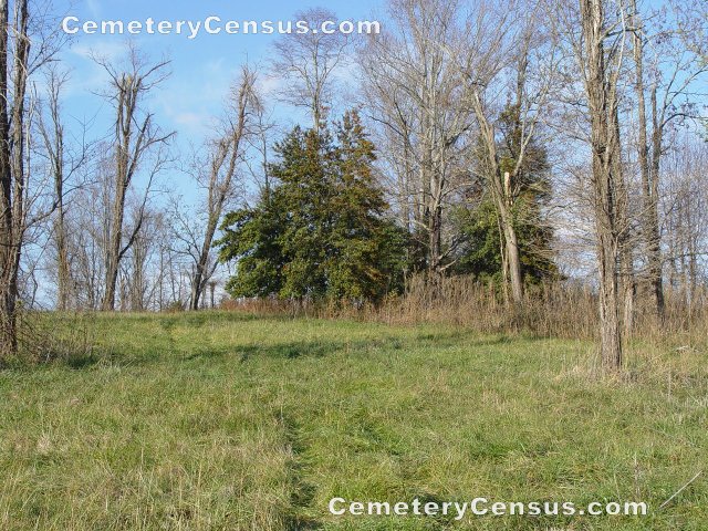
Location - off Blevins Store Rd near Ladonia Baptist Church in the Low Gap Community.
Coordinates: 36d 28m 57.1s N; 80d 50m 20.8s W Click here for Online Maps
Directions: From the Interstate 77 and NC 89 intersection, follow NC 89 West for 6.9 miles, turn left at the Recycling Center Sign onto Ramey Creek Road (which becomes Hidden Valley Road), make no turns, go for 2.8 miles to just beyond Ladonia Church Road (on left), turn into driveway opposite M & M Signs building and park, then on the immediate right walk through the fence gate and up the farm road for about 100 yards. One should see a clump of holly trees about 25 yards to the right of the Farm road. The graveyard is among the holly trees.
Photographed and surveyed by Jack Luffman on 24 November 2010.
Township or District: Franklin
Public or Private: Private
GPS Accuracy (ft): 12
Elevation above sea level(ft): 1323 feet
Status of Cemetery: Abandoned
Surry County Parcel Number: 4959-00-89-4850 - the cemetery is on the property of Martha Graham.
The cemetery has at least 3 stone markers and one partially readable monument.
 Oglesby, William (b. - d. 18?9) Oglesby, William (b. - d. 18?9) Aged 19. "To the memory of, William Oglesby, Consort of Nancy P. Oglesby, Who departed this life on ??? 14, 18?9, Aged 19 years and ? months 19 days. Remember me as you pass by, as you are now - once was I, ..." Other writing on stone is unreadable.
 Unknown, ?? (b. - d. ) Unknown, ?? (b. - d. )  Unknown, ?? (b. - d. ) Unknown, ?? (b. - d. )  Unknown, ?? (b. - d. ) Unknown, ?? (b. - d. )
Web page updated 15 April 2021
Index of All Cemeteries Alphabetical Index of All Burials Previous Page
|
|
 |


