Index of All Cemeteries Alphabetical Index of All Burials Previous Page
Use the following to search across all the cemeteries listed.
Example: "Smith, Roger" (yes, use the quotes)
090 DANIEL [E11.1]
Location - Baldwin Township. On north side of Danning Drive, 0.15 mile west of Margaret Daniel Drive, between Lots 7 and 8 of Daniel Ridge Subdivision-between residences at 158 and 88 Danning Drive.
Coordinates: 35d 51m 38.5s N; 79d 06m 36.3s W Click here for Online Maps
View #2 of cemetery. - - - View #3 of cemetery. - - - View#4 of cemetery.
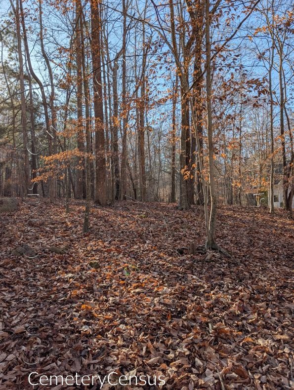
On 15 April 1995, Will M. Heiser and William J. Crabtree noted at least 35 field stones, some rounded on top, with no inscriptions. Boundary/Topographical Survey by Derward W. Baker and Associates, P.A., 11 January 1995, and Plat Slide 96-32, record 13 graves with unmarked head and foot stones. On 25 March 1996, Will M. Heiser counted only six flat field stones and located seven rectangular holes where stones had recently been removed. Tom Miller visited the site in December 2025. He photographed some visible fieldstone markers, but noted that an accurate count of graves was hampered by leaf cover. CCHA suggests that a professional examination of the site should be conducted in the future to identify all of the graves, including ones where fieldstone markers may have been removed.
Owner: Vicki Ann Voller Trustee (2026)
Legal Description: Parcel 71817. Deed 2236/545. Deed Book 663-679, 1 Jan 1995, to Luther A. and Viktoria A. Voller. Plat Slide 96-32, 9 Nov 1995. References 652/288 and plat 91-335 Margaret Daniel Utley.
Topo Quadrant: Farrington.
Abandoned: Yes.
Number of graves: 17, possibly more.
Cemetery size: 50' x 70'; 0.09 acres.
Unrestricted access: Yes.
Overgrown and not easy to identify: Yes.
Enclosed: No.
Markers: Yes.
Markers with inscriptions: No.
Damage from vandalism: Yes.
Other damage explanation: Some stones were reported to have been removed between April of 1995 and March 1996.
Miscellaneous information: Boundary/Topographical Survey by Derward W. Baker and Associates, P.A., 11 January 1995 recorded 13 graves marked by fieldstone head and footstones. On 15 Apr 1995, Will M. Heiser and William J. Crabtree noted 35+ field stones representing 17+ graves. On 25 March 1996, Will M. Heiser found only 6 flat fieldstones. In December 2025 Tom Miller photographed some of the visible fieldstones, but was unable to get an accurate count of graves.
Last canvassed by: Derward Baker and Assoc, 11 Jan 1995; Will M. Heiser and William J. Crabtree, 15 Apr 1995; Will Heiser, 25 Mar 1996; Tom Miller, 15 December 2025.
 Unknown, Unknown (b. Unknown - d. Unknown) Unknown, Unknown (b. Unknown - d. Unknown) - Unknown, Unknown (b. Unknown - d. Unknown)
- Unknown, Unknown (b. Unknown - d. Unknown)
- Unknown, Unknown (b. Unknown - d. Unknown)
- Unknown, Unknown (b. Unknown - d. Unknown)
Web page updated 30 March 2026
Index of All Cemeteries Alphabetical Index of All Burials Previous Page
|
|
 |


