Index of All Cemeteries Alphabetical Index of All Burials Previous Page
Use the following to search across all the cemeteries listed.
Example: "Smith, Roger" (yes, use the quotes)
260 TILLEY FAMILY CEMETERY
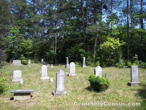
Location - Off Moser Rd at end of Silver Wing Way, Ararat, Surry Co., NC.
Coordinates: 36d 21m 32.9s N; 80d 35m 58.5s W Click here for Online Maps
Directions: From intersection of US Hwy 52 and US Hwy 601 in Mt. Airy, go 1.35 miles on US Hwy 601 (Rockford St). Then turn left on Old US Hwy 601 and go 1.7 miles. Then turn left on Siloam Rd and go 6.5 miles. Then turn left on Tom Jones Road and go about 1 mile and turn right on Moser Road. Then go .4 mile on Moser Rd and then turn left on Silver Wing Way following it for .2 mile to some greenhouses and tobacco barn on the left. Turn left immediately behind tobacco barn and the cemetery will be in view straight ahead.
Surveyed by Andy Hennis on November 1, 2006.
Township or district: Eldora.
Public or Private: Private property.
GPS Accuracy (ft.): 12.
Elevation above sea level (ft.): 1175.
Surry County Parcel Number: 5925-00-82-6667.
Web page updated 15 April 2021
Index of All Cemeteries Alphabetical Index of All Burials Previous Page
|
|
 |

