Index of All Cemeteries Alphabetical Index of All Burials Previous Page
Use the following to search across all the cemeteries listed.
Example: "Smith, Roger" (yes, use the quotes)
255 STRICKLAND-MCARTHUR FAMILY CEMETERY
Location - Athey Simmons Rd, Mt. Airy, Surry Co., NC.
Coordinates: 36d 31m 13.7s N; 80d 30m 46.8s W Click here for Online Maps
Directions: From intersection of Renfro St and E. Pine St (NC Hwy 103) in Mt. Airy, go east on E. Pine St for 6.2 miles and turn right on Slate Mountain Road and go .6 miles. Then turn right on Athey Simmons Road and go .6 miles and the cemetery is on the left.
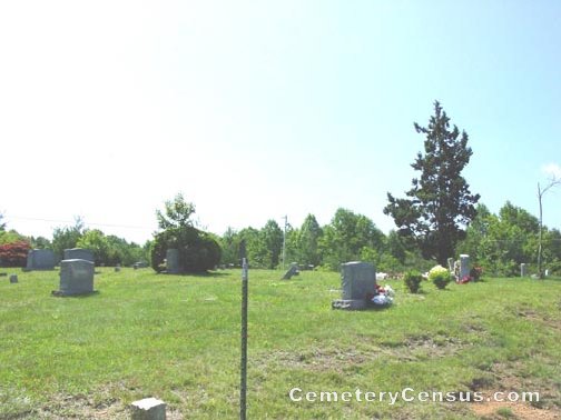
View #2 of the cemetery.
Surveyed by Andy Hennis on May 6, 2006.
Also known as: McArthur Family Cemetery.
Township or district: Westfield.
Public or Private: Private property.
GPS Accuracy (ft.): 11.
Elevation above sea level (ft.): 1640.
Surry County Parcel Number: 5051-00-51-3799.
African-American.
Web page updated 15 April 2021
Index of All Cemeteries Alphabetical Index of All Burials Previous Page
|
|
 |

