Index of All Cemeteries Alphabetical Index of All Burials Previous Page
Use the following to search across all the cemeteries listed.
Example: "Smith, Roger" (yes, use the quotes)
112 HILLS PRESBYTERIAN CHURCH CEMETERY
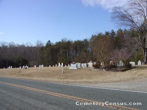
Location - Hill's Presbyterian Ch Rd, Pilot Mtn., Surry Co., NC.
Coordinates: 36d 25m 24.3s N; 80d 27m 43.8s W Click here for Online Maps
Directions: From intersection of W. Main St and Old Westfield Rd in Pilot Mtn, go north on Old Westfield Rd for 2.7 miles and turn right on Jessup Grove Church Rd, then go .4 miles and turn right on Hill's Presbyterian Church Rd, then go .3 miles and church and cemetery are on the right.
View of the church.
Surveyed by Bob Carter on January 1, 2007.
Also known as: Hills Church.
Township or district: Pilot.
Public or Private: Public Access.
GPS Accuracy (ft.): 18.
Elevation above sea level (ft.): 1120.
Status of cemetery: Maintained but grave markers are deteriorating.
Web page updated 15 April 2021
Index of All Cemeteries Alphabetical Index of All Burials Previous Page
|
|
 |

