Index of All Cemeteries Alphabetical Index of All Burials Previous Page
Use the following to search across all the cemeteries listed.
Example: "Smith, Roger" (yes, use the quotes)
063 DENNIS FAMILY CEMETERY
Location - Eldora Rd, Ararat, Surry Co., NC.
Coordinates: 36d 21m 11.4s N; 80d 35m 26.4s W Click here for Online Maps
Directions: From intersection of US Hwy 52 and NC Hwy 268 in Pilot Mtn, go west on NC Hwy 268 for 6.4 miles and turn right on Eldora Rd. Continue north on Eldora Rd for .3 miles and cemetery is on the right. It is at the road's edge just before reaching the entrance to Millseat Subdivision on the left.
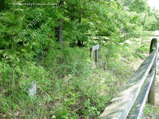
View of the cemetery sign.
Surveyed by Andy Hennis on June 28, 2006.
Township or district: Eldora.
Public or Private: Private property.
GPS Accuracy (ft.): 12.
Elevation above sea level (ft.): 1155.
Status of cemetery: Abandoned.
Surry County Parcel Number: 5935-00-11-4185.
There appear to be five graves with only one legible stone. It marks the grave of John S. Dennis.
 Dennis, John Stanley (b. 20 Mar 1845 - d. 27 Jul 1898) Dennis, John Stanley (b. 20 Mar 1845 - d. 27 Jul 1898) A newer grave stone. He was born in Pitt County, NC to Arthur E. and Elizabeth A. Dennis. Married Mary Elizabeth Womble on 15 Aug 1866 in Pitt County, NC. Mary Womble Dennis is buried at Lamm's Grove Primitive Baptist Church in Moore County, NC.
- Unknown (b. Unknown - d. Unknown)
Grave marker of John Dennis - had been vandalized and toppled over
- Unknown (b. Unknown - d. Unknown)
Graves of unknown children
- Unknown (b. Unknown - d. Unknown)
Other unknown and not legible graves
- Unknown (b. Unknown - d. Unknown)
Web page updated 15 April 2021
Index of All Cemeteries Alphabetical Index of All Burials Previous Page
|
|
 |


