Index of All Cemeteries Alphabetical Index of All Burials Previous Page
Use the following to search across all the cemeteries listed.
Example: "Smith, Roger" (yes, use the quotes)
025 BLACKWATER COMMUNITY CHURCH CEMETERY - UPPER
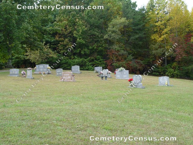
Location - 525 Crotts Rd, Mt. Airy, Surry Co., NC.
Coordinates: 36d 24m 04.7s N; 80d 38m 23.1s W Click here for Online Maps
Directions: From intersection of US Hwy 52 and 601 (Rockford St) in Mt. Airy, go south on US Hwy 601 for 1.35 miles and turn left on Old US Hwy 601, then 1.7 miles and turn left on Siloam Rd (SR 1003), then go 4 miles and turn right on Crotts Rd, then go .85 miles and turn left on Church Lane. Cemetery and church will be on the right.
Surveyed by Andy Hennis on June 28, 2006. Photographed and surveyed by Jack Luffman on 10 October 2011.
Township or district: Eldora.
Public or Private: Public Access.
GPS Accuracy (ft.): 13.
Elevation above sea level (ft.): 1330.
Surry County Parcel Number: 5916-00-79-4101.
 Atkins, Stephen Austin (b. 23 Jul 1989 - d. 21 Mar 1992) Atkins, Stephen Austin (b. 23 Jul 1989 - d. 21 Mar 1992) - Beck, Bridgett Noel (b. 11 May 1995 - d. 10 May 1997)
Row 2. Daughter of Steve Allen and Lesa Musick Beck
- Beck, Lesa Musick (b. 19 Sep 1972 - d. 10 May 1997)
Row 2. Wife of Steve Allen Beck
- Beck, Steve Allen (b. 10 May 1972 - d. Reserved)
Row 2. Husband of Lesa Musick Beck
- Browder, J. Dean (b. 20 May 1947 - d. Reserved)
Row 6. Husband of Louise V. Browder
- Browder, Louise V. (b. 11 Jun 1943 - d. 13 May 2006)
- Cassell, John L. (b. 3 Oct 1913 - d. 3 Jul 1986)
Row 1. Husband of Ola B. Cassell
- Cassell, Ola B. (b. 10 Mar 1915 - d. 11 Jul 2003)
Row 1. Wife of John L. Cassell
- Dawson, Jessie F., Sr. (b. 20 Oct 1934 - d. 23 Aug 2002)
Row 1. Space for spouse name, no name listed
- Draughn, Ella Mae (b. 31 May 1944 - d. Reserved)
Row 2. Wife of George L. Draughn
- Draughn, George L. (b. 6 May 1935 - d. 25 Aug 1999)
Row 2. Husband of Ella Mae Draughn
- Goins, Annie C. (b. 26 Mar 1937 - d. 27 May 2009)
Row 5. Wife of Nathan Paul "Pete" Goins
- Goins, Nathan Paul "Pete" (b. 16 Apr 1929 - d. 22 Feb 2005)
Row 5. Husband of Annie C. Goins
- Hall, Caurin Lonae "Cori" (b. 12 May 1992 - d. 4 Feb 1996)
- Holyfield, Stella D. (b. 22 Mar 1922 - d. 29 Mar 1995)
- Hughes, Dale (b. 2 Dec 1960 - d. 10 Nov 2001)
Row 4. Husband of Kathy S. Hughes
- Hughes, Kathy S. (b. 6 Mar 1959 - d. Reserved)
Row 4. Wife of Dale Hughes
- Quesinberry, Lonnie V. (b. 26 Jun 1941 - d. 22 Jan 2010)
Row 3. Husband of Patsy B. Quesinberry. Married 13 Apr 1963
- Quesinberry, Patsy B. (b. 21 Jan 1945 - d. Reserved)
Row 3. Wife of Lonnie V. Quesinberry. Married 13 Apr 1963
- Slate, Norma O. (b. 27 Jan 1941 - d. 15 Aug 2005)
Web page updated 15 April 2021
Index of All Cemeteries Alphabetical Index of All Burials Previous Page
|
|
 |


