Index of All Cemeteries Alphabetical Index of All Burials Previous Page
Use the following to search across all the cemeteries listed.
Example: "Smith, Roger" (yes, use the quotes)
023 BEULAHLAND BAPTIST CHURCH CEMETERY
Location - 3187 Old Hwy 52 S, Pilot Mtn., Surry Co., NC.
Coordinates: 36d 24m 13.3s N; 80d 29m 43.7s W Click here for Online Maps
Directions: From intersection of US Hwy 52 and NC Hwy 268 in Pilot Mtn, go north on US Hwy 52 for 2.30 miles and take the Cook School Rd exit. Turn left on Cook School Rd and go to its intersection with Old US Hwy 52 S. Turn left on Old US Hwy 52 S and go .2 mile to church and cemetery on the left.
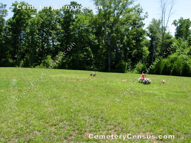
View of the church.
Surveyed by Andy Hennis on June 1, 2006.
Township or district: Pilot.
Public or Private: Public Access.
GPS Accuracy (ft.): 9.
Elevation above sea level (ft.): 1040.
Surry County Parcel Number: 5956-00-99-9024.
336-368-2493.
Burials survey and photographs by Bob Carter in February 2012.
 Hawks, Frances Davis (b. - d. Reserved) Hawks, Frances Davis (b. - d. Reserved) Row-02, No-02. Wife of Gerald Wade Hawks
- Hawks, Gerald Wade (b. 18 Nov 1946 - d. 8 Nov 2003)
Row-02, No-01. Husband of Frances Davis Hawks
- Montgomery, Bertha E. (b. 10 Mar 1931 - d. 24 Feb 2006)
Row-02, No-07. Wife of Ernest L. Montgomery
- Montgomery, Ernest L. (b. 18 Sep 1922 - d. 3 Nov 2006)
Row-02, No-06. Husband of Bertha E. Montgomery
- Rakes, Dorothy J. (b. 19 May 1949 - d. Reserved)
Row-02, No-04. Wife of Douglas Rakes
- Rakes, Douglas (b. 29 Mar 1932 - d. 25 Aug 2007)
Row-02, No-03. Husband of Dorothy J. Rakes. Cpl, US Army, Korea Military marker.
- Sapp, Dixie Anne (b. 19 Oct 1945 - d. 23 Jul 2011)
Row-03, No-02. Wife of Jerry L. Sapp
- Sapp, Jerry L. (b. 28 Jan 1946 - d. Reserved)
Row-03, No-01. Husband of Dixie Anne Sapp
- Terrell, Jimmy Ray (b. 20 Mar 1936 - d. 18 Mar 2004)
- Wallace, Dallas B. (b. 22 Jun 1937 - d. 25 Jul 2008)
Row-03, No-03. Husband of Jean J. Wallace
- Wallace, Dallas Blaine (b. 22 Jun 1937 - d. 25 Jul 2008)
- Wallace, Jean J. (b. 3 Jan 1938 - d. Reserved)
Row-03, No-04. Wife of Dallas B. Sapp
Web page updated 15 April 2021
Index of All Cemeteries Alphabetical Index of All Burials Previous Page
|
|
 |


