Index of All Cemeteries Alphabetical Index of All Burials Previous Page
Use the following to search across all the cemeteries listed.
Example: "Smith, Roger" (yes, use the quotes)
016 BARKER CEMETERY
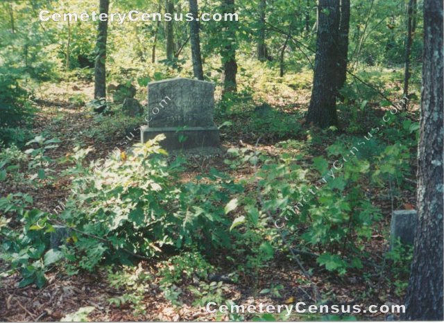
Location - Old Low Gap Rd, Low Gap, Surry Co., NC.
Coordinates: 36d 31m 47.5s N; 80d 50m 02.1s W Click here for Online Maps
Directions: From Mt. Airy, go west on NC Hwy 89 to caution light in Pine Ridge turning right on Pine Ridge Rd. Then go 3.5 miles to a crossroads and turn left on Old Low Gap Rd. Then go 4.8 miles and turn right on Foye Haynes Lane. Then go .2 mile up a path in the woods until you see a white fence. Cemetery is inside the fence.
Surveyed by Andy Hennis on May 6, 2006.
Township or district: Franklin.
Public or Private: Private property.
GPS Accuracy (ft.): 18.
Elevation above sea level (ft.): 1509.
Status of cemetery: Abandoned.
Surry County Parcel Number: 4061-00-06-8841.
Photographs by Wilma Hiatt.
 Barker, Jerry (b. - d. 1873) Barker, Jerry (b. - d. 1873) - Barker, Leander (b. 8 May 1818 - d. 20 Oct 1880)
Husband of Louisa Collins, m. 2 Mar 1847 in Surry
- Barker, Louisa Collins (b. 11 Aug 1828 - d. 15 Feb 1920)
- Hawks, Delila Smith (b. 1833 - d. 1897)
Wife of John Hardin Hawks
- Hawks, John Hardin (b. 1844 - d. 1897)
Web page updated 15 April 2021
Index of All Cemeteries Alphabetical Index of All Burials Previous Page
|
|
 |


